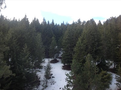
East Face Project Area Facts
The project area encompasses approximately 44,000 acres of FS land, about 4,000 acres of State lands and nearly 33,000 acres of private lands on about 135 different landowners on the east side of the Elkhorn Mountains between Anthony Lakes and Ladd Canyon.
The project area straddles Union and Baker Counties with three high use recreation sites (Pilcher Creek and Wolf Creek campgrounds and Anthony Lakes Recreation and Ski area) near or in the project.
Shared boundary includes about 17 miles between USFS and private and about 3 miles between USFS and ODF&W’s Elkhorn Wildlife Area
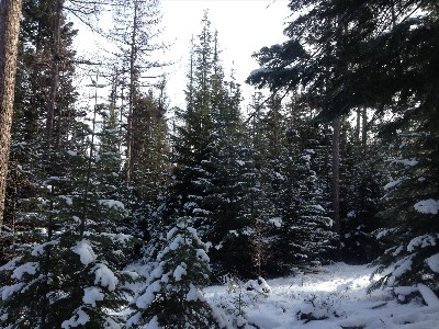
Four Wildland Urban Interface (WUI) areas in or near the project with private residences/property, municipal watersheds (Beaver Creek) and the high use Anthony Lakes recreation area. There are two Community Wildfire Protection Plans (CWPPs) that address these WUI areas.
There are a total of 274 structures in the four WUI of which about 90 are near Anthony Lakes and the ski resort.
Occurs primarily in the North Powder River and Wolf Creek-Powder River watersheds.
Comprised of several different land management allocations including MA1 timber production emphasis (80%), MA6-Back Country, MA15 Allocated Old Growth, minor inclusions of wildlife winter and summer range (940 acres of winter range, 1200 acres of summer range), and MA16 administrative sites—namely Anthony Lakes recreation area.
Adjacent to 3 inventoried roadless areas- Twin Mountain, Upper Grande Ronde and Beaver Creek.
2014-2016 East Face Project Summary:
EastFace_2014-2016ReportFN_Web